Sun Position Calculator
Find the sun's elevation and azimuth for any place, date and time, plus sunrise, solar noon and sunset, using NOAA's algorithm.
Quick answer
The sun position is given by two angles: elevation (height above the horizon) and azimuth (compass bearing, clockwise from north). In New York at 3:00 PM EDT on June 21, 2026, the sun stands 59.2° high at an azimuth of 245.3°, which is west-southwest. It rises at 5:25 AM, peaks at 72.7° at solar noon (12:58 PM) and sets at 8:31 PM.
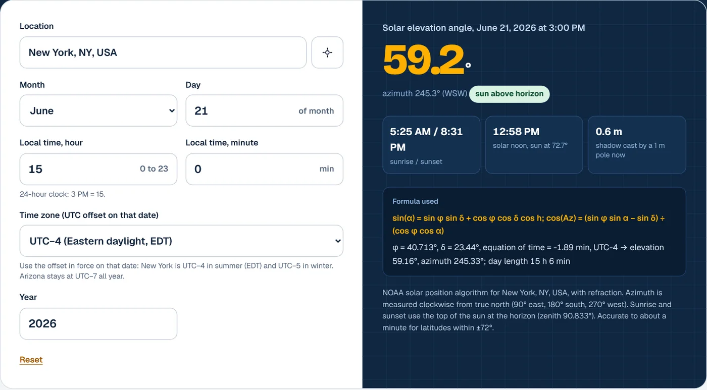
How to use the sun position calculator
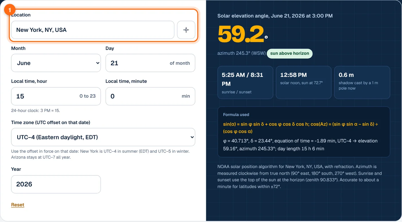
- Set your location. Search for a city, town or ZIP code, or use your device location. Only the latitude and longitude are used, so the result works for any point on Earth.
- Choose the date. Pick the month, enter the day and, if needed, change the year. The calculator handles leap years and caps the day at the length of the month.
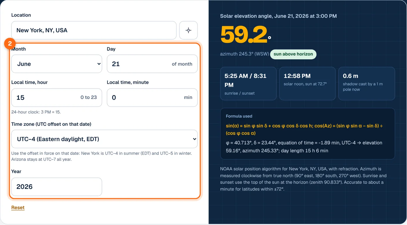
- Enter the local clock time. Use the 24-hour clock, so 3 PM is hour 15. Add minutes for a precise moment.

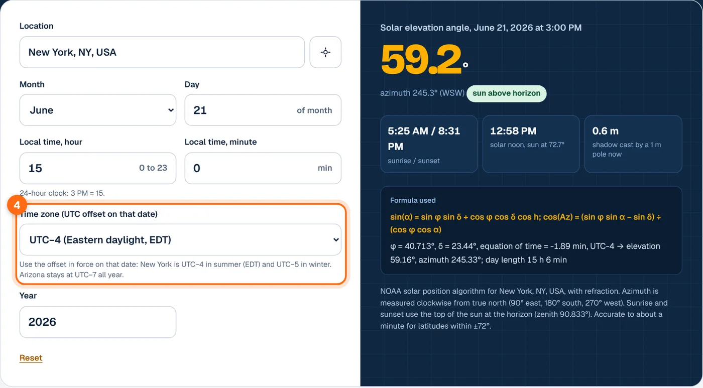
- Pick the time zone offset. Choose the UTC offset in force on that date. Daylight saving time matters: New York is UTC−4 in summer and UTC−5 in winter, while Arizona stays at UTC−7 all year.
- Read the sun position. The big number is the solar elevation angle. Below it you see the azimuth and compass point, and the cards show sunrise, sunset, solar noon and the shadow length of a 1 m pole.

Sun position formula
The calculator runs the NOAA solar position algorithm in your browser. It first finds the sun’s declination and the equation of time for the moment you enter, then converts clock time to true solar time and the hour angle.
Where:
- α is the solar elevation angle above the horizon. The solar zenith angle is 90° − α.
- Az is the azimuth, measured clockwise from true north: 90° east, 180° south, 270° west.
- φ is latitude (north positive) and λ is longitude (east positive).
- δ is the solar declination, which swings between about +23.44° in June and −23.44° in December.
- EoT is the equation of time in minutes, the gap between sundial time and clock time caused by Earth’s tilted, elliptical orbit.
- h is the hour angle, 0° at solar noon and 15° for each hour away from it.
The elevation then gets a small correction for atmospheric refraction, which lifts the sun’s image by about half a degree at the horizon. Sunrise and sunset are the moments the top of the sun touches a flat horizon, a zenith angle of 90.833°. The NOAA calculation details page explains that the method is based on Jean Meeus’s Astronomical Algorithms and is accurate to about a minute for sunrise and sunset within ±72° latitude.
We checked the calculator against NOAA’s own code for six cases, including New York in June, London in December, Sydney in March and a polar day in northern Norway. Elevation, azimuth, solar noon and sunrise times matched to the displayed precision.
Worked examples
Example 1: New York, June 21, 3:00 PM EDT
Latitude 40.713° N, longitude 74.006° W, UTC−4. The declination is 23.44° and the equation of time is −1.89 min.
The sun is up from 5:25 AM to 8:31 PM and reaches 72.7° at solar noon, 12:58 PM. A 1 m pole casts a shadow of 1 ÷ tan 59.16° = 0.60 m.
Example 2: London at noon on the winter solstice
Latitude 51.507° N, December 21, 12:00 PM GMT (UTC±0). The declination is −23.44°.
Solar noon is at 11:58 AM, so the sun is almost at its highest. A 1 m pole casts a 3.70 m shadow, which is why winter shading from a neighbor’s tree or chimney hurts UK solar panels so much.
Example 3: Phoenix on an October morning
Latitude 33.448° N, October 11, 8:00 AM MST (UTC−7, no daylight saving).
Solar noon is at 12:15 PM with the sun at 49.3°. East-facing panels catch this low morning sun almost head on, while south-facing panels are still at a steep angle to it.
Noon sun height by city
Computed with this calculator for 2026. Solar noon is in local clock time for that date (daylight time in June for places that use it).
| City | March 20 noon height | June 21 noon height | December 21 noon height | June 21 solar noon |
|---|---|---|---|---|
| Miami, FL | 64.3° | 87.7° | 40.8° | 1:23 PM |
| Phoenix, AZ | 56.6° | 80.0° | 33.1° | 12:30 PM |
| Los Angeles, CA | 56.0° | 79.4° | 32.5° | 12:55 PM |
| New York, NY | 49.3° | 72.7° | 25.9° | 12:58 PM |
| Chicago, IL | 48.2° | 71.6° | 24.7° | 12:52 PM |
| Seattle, WA | 42.5° | 65.8° | 19.0° | 1:11 PM |
| Anchorage, AK | 28.9° | 52.2° | 5.5° | 2:01 PM |
| London, UK | 38.5° | 61.9° | 15.1° | 1:02 PM |
| Edinburgh, UK | 34.0° | 57.5° | 10.7° | 1:14 PM |
| Sydney, Australia | 56.3° | 32.7° | 79.6° | 11:57 AM |
The noon height at the equinox is roughly 90° minus your latitude, and moves about 23.4° up or down at the solstices.
What affects the sun position
Latitude
Latitude sets how high the sun can climb. Miami’s June noon sun is nearly overhead at 87.7°, while Anchorage tops out at 52.2°. High latitudes also get long, low sun paths that sweep far to the north in summer, and the daylight hours calculator shows how much that stretches the day.
Date
The declination changes through the year, so the same clock time gives a very different elevation in June and December. That seasonal swing is the reason a fixed tilt is a compromise; the solar panel angle calculator finds the best year-round angle for your roof.
Time zone and daylight saving
Solar noon rarely falls at 12:00 on the clock. Your position within the time zone and daylight saving can push it past 1 PM, as in Miami and Seattle.
Longitude within the time zone
Every degree of longitude shifts solar time by 4 minutes. Places on the western edge of a time zone, such as Anchorage, see solar noon much later than the clock suggests.
Frequently asked questions
What is the difference between solar elevation and solar azimuth?
Elevation is how high the sun is above the horizon, from 0° at sunrise to a maximum at solar noon. Azimuth is the compass direction of the sun, measured clockwise from true north, so 90° is east, 180° is south and 270° is west. Together they pin the sun’s position in the sky at any moment.
Is the azimuth relative to true north or magnetic north?
True north. A compass points to magnetic north, which differs by the magnetic declination at your location, from near zero to more than 15° in parts of the US. Correct a compass reading before you compare it with this calculator, or use a map or satellite image to find true north.
Why is solar noon not at 12:00?
Clock time is shared across a whole time zone, while solar noon depends on your exact longitude. The equation of time adds up to about 16 minutes of seasonal drift, and daylight saving adds an hour. In New York on June 21, solar noon is at 12:58 PM for these reasons.
How do I use sun position to check shading on solar panels?
Find the elevation and azimuth at the times that matter, such as 9 AM and 3 PM on December 21. If a tree or building is taller, in angle, than the sun’s elevation in that direction, it shades the panels then. The shadow card shows how long a shadow a 1 m object casts.
How accurate is this sun position calculator?
It uses the same NOAA algorithm as the NOAA Solar Calculator, which is accurate to about a minute for sunrise and sunset between ±72° latitude. Position angles agree with NOAA to a hundredth of a degree. Real sunrise can differ by a minute or two because of local terrain and unusual atmospheric conditions.